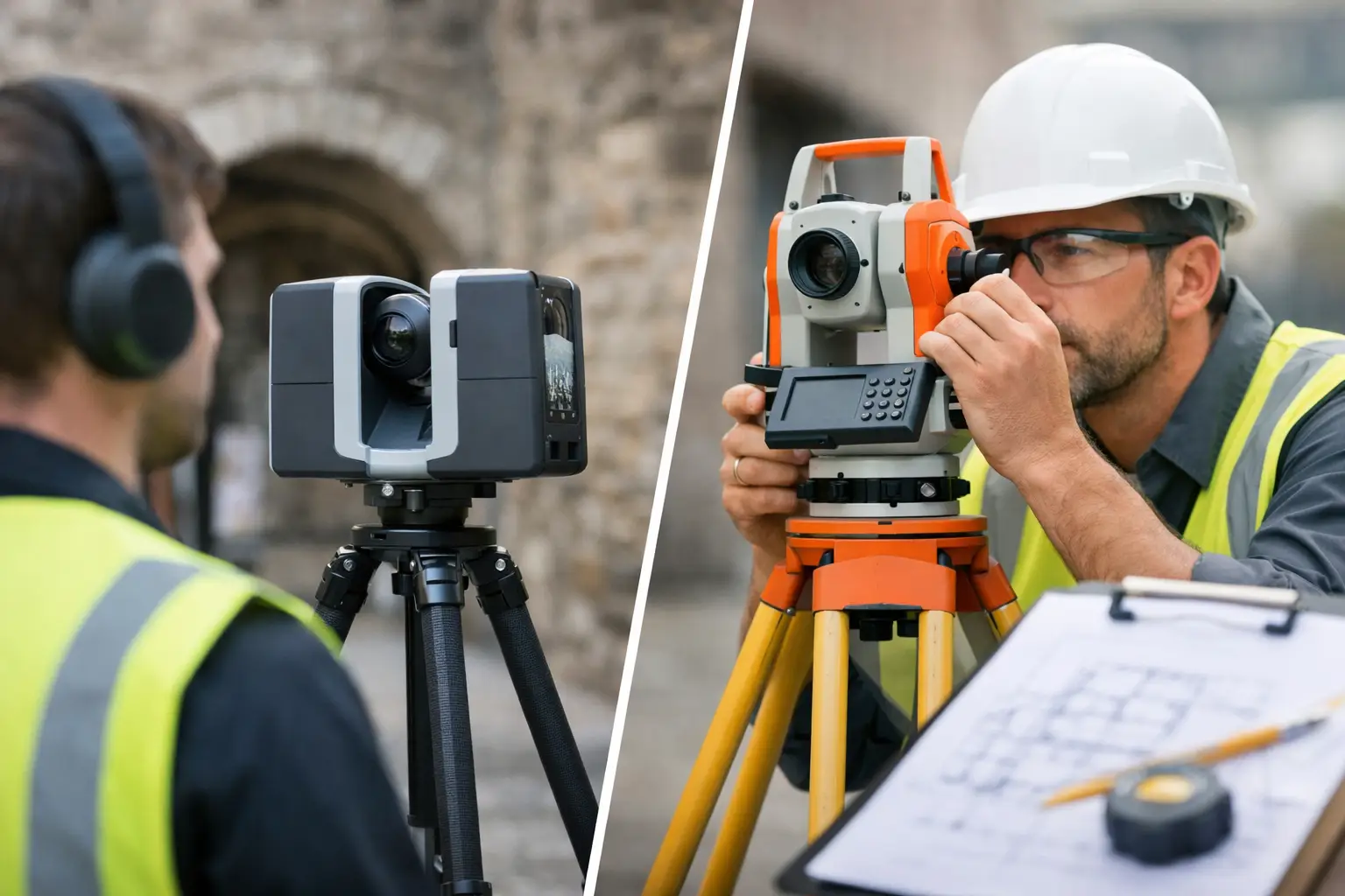
A beautiful stone house can hide uneven floors, altered room layouts, roof movement, and extensions that do not match the available plans. That is where the decision between a LiDAR scan vs measured survey becomes practical, not academic. Both can reveal the real geometry of a property, but they answer different questions and produce different levels of certainty.
For buyers, investors, and owners planning work in Portugal, choosing the wrong type of survey can create avoidable cost later. A renovation design based on incomplete dimensions can lead to redesigns, inaccurate contractor pricing, material waste, and disputes on site. The right starting point is not the newest technology. It is understanding what decision you need the survey to support.
LiDAR scan vs measured survey: the essential difference
A LiDAR scan uses laser measurements to capture millions of points across a building or site. Those points form a digital point cloud: a detailed three-dimensional record of visible surfaces. When collected well, LiDAR can rapidly document room shapes, floor levels, facades, roofs, surrounding terrain, and difficult-to-reach areas.
A measured survey is a controlled process of recording dimensions, levels, building features, and sometimes site boundaries to create a defined drawing or model. It may use tape measures, laser distance meters, total stations, GNSS equipment, LiDAR, or a combination of tools. The key distinction is that a measured survey is a deliverable-led service. It is designed around a stated level of accuracy and a specific purpose, such as renovation drawings, planning, structural design, or area verification.
In simple terms, LiDAR is a method of capturing data. A measured survey is a method of producing reliable information for a defined decision. A LiDAR scan can be part of a measured survey, but a scan alone is not automatically a measured survey.
What a LiDAR scan does well
LiDAR is particularly useful when speed, coverage, and visual context matter. A scan can capture a complex existing property far more completely than a small number of manual measurements. This is valuable in older Portuguese homes, where rooms may be irregular, walls may be out of square, and floor levels can change gradually from one space to another.
For renovation planning, the point cloud gives designers and construction teams a much stronger record of the building than estate-agent floor plans or old drawings. It can help identify distorted walls, low beams, roof geometry, stair positions, and the relationship between indoor and outdoor levels. A scan is also valuable as a baseline record before demolition or major work begins.
External LiDAR and drone-based data can add another layer of information. They can document roof lines, facade conditions, site gradients, retaining walls, drainage routes, and access constraints. This is especially useful where roofs are steep, properties sit on sloped land, or areas cannot be safely inspected from the ground.
However, LiDAR does not see through walls, roof coverings, vegetation, stored furniture, or moisture. It records what is exposed to the sensor. A clean-looking point cloud is not proof that the wall structure, electrical system, waterproofing, or roof timbers are sound.
What a measured survey does well
A properly scoped measured survey turns physical observations into information a project team can use. It may include existing floor plans, elevations, sections, roof plans, site levels, fixed features, openings, and key construction details. The surveyor establishes control points, checks dimensions, and resolves gaps or conflicts rather than simply delivering raw capture data.
This matters when a design decision depends on millimeters or when several trades must work from the same information. An architect may need reliable floor-to-ceiling heights and window positions before designing an internal reconfiguration. A structural engineer may need verified beam locations, wall thicknesses, and level changes before assessing new openings. A contractor needs drawings clear enough to price work without adding large allowances for uncertainty.
Measured surveys also allow the scope to be tailored. A pre-purchase assessment may require a simplified existing layout and level check. A full renovation may require detailed drawings and a coordinated 3D model. A site with boundary questions may require a specialist cadastral or legal boundary survey. These are not interchangeable services.
Accuracy is about process, not just equipment
A common mistake is assuming that laser capture guarantees accuracy. The reality is more disciplined. Accuracy depends on the sensor, the survey method, the control system, the environment, the operator, the processing workflow, and the final checks.
For example, a handheld LiDAR device can be excellent for rapid space capture and early planning. But its data may drift across a large building if it is not properly controlled and verified. A static terrestrial scanner can deliver highly detailed data, but it still needs correct registration between scan positions and careful interpretation where surfaces are hidden or reflective.
A measured survey adds quality control. Dimensions are checked against known references, critical areas are manually verified, and the final drawings are reviewed for practical use. If a new kitchen must fit between two existing walls, or a steel beam must clear a roof structure, those critical dimensions deserve direct confirmation rather than assumption from a scan alone.
The required tolerance depends on the project. Early feasibility work can often proceed from a scan-based model with sensible allowances. Fabrication, structural connections, custom glazing, stairs, and built-in joinery usually require more detailed verification before ordering or construction.
When a LiDAR scan is the right first step
A LiDAR scan is often the right choice when you need a fast, evidence-based record of an existing property before deciding whether to proceed. It is useful during a pre-purchase review where the buyer needs to understand the building’s form, likely renovation constraints, roof access, and the extent of obvious alterations.
It is also effective where the property is complex or difficult to measure conventionally. Think of a multi-level village house, a large rural property with outbuildings, or a home with a complicated roof and uneven terrain. Capturing broad geometry early can prevent the project team from working from unreliable sketches.
For owners managing a phased renovation, a LiDAR record can document the property before work starts and create a reference for future planning. It can also support clearer conversations with architects, engineers, contractors, and insurers by replacing vague descriptions with a shared visual record.
Still, the scan should be paired with a practical building inspection. Geometry explains shape and position. It does not diagnose why cracking has occurred, whether moisture is active, or whether a roof covering has reached the end of its useful life.
When you need a measured survey instead
Choose a measured survey when the output will directly support design, statutory submissions, engineering, pricing, or construction. If your architect is preparing a major renovation, do not rely solely on a scan delivered without verified drawings and agreed accuracy standards.
The same applies when the property has conflicting plans, unrecorded extensions, ambiguous floor areas, or significant level changes. In Portugal, older properties often have documentation that differs from the building as it stands. Establishing the existing condition before design work begins reduces the chance of planning a solution around incorrect assumptions.
Boundary matters need particular care. A building scan can show fences, walls, and apparent edges, but it does not determine legal ownership or resolve cadastral discrepancies. Where a purchase, extension, access route, or neighbor dispute depends on a boundary, use an appropriately qualified professional for that specific task.
A practical approach before buying or renovating
The most cost-effective approach is usually staged. First, analyze the property’s condition and the decisions ahead. Then select the capture method and survey output that match those decisions. Finally, use verified information to plan scope, budgets, and sequencing.
For a buyer, that may mean combining a property health check with targeted LiDAR capture and roof inspection. The aim is to identify risk before commitment: distorted geometry, drainage concerns, roof access issues, visible defects, and likely renovation limitations.
For an owner ready to renovate, the next stage may be a detailed measured survey based partly on LiDAR data, with critical dimensions checked on site. This gives the design and construction team a dependable starting point. It also makes contractor pricing more comparable because each contractor is working from the same defined information.
Quantum EcoBuild approaches this process as construction due diligence, not technology for its own sake. The useful question is always: what facts do you need before committing money?
Do not confuse a digital model with a full building assessment
A highly detailed 3D model can create false confidence. It may show every visible surface and still miss the conditions most likely to affect cost: concealed decay, inadequate drainage, poor ventilation, outdated services, weak waterproofing details, or unapproved work.
Use survey data alongside experienced observation. Check cracks in context, inspect roof details where possible, assess moisture patterns, review visible structural changes, and compare the physical building with the available documentation. Facts, not assumptions, should determine whether a property is a sensible purchase or a manageable renovation.
Before you order a survey, define the next decision you need to make. If you need to understand the building quickly, LiDAR may provide the right evidence. If you need drawings that others can design and build from, specify a measured survey with clear deliverables and verification. That small decision at the beginning can protect the entire project that follows.
Leave a Reply